

RF Environment
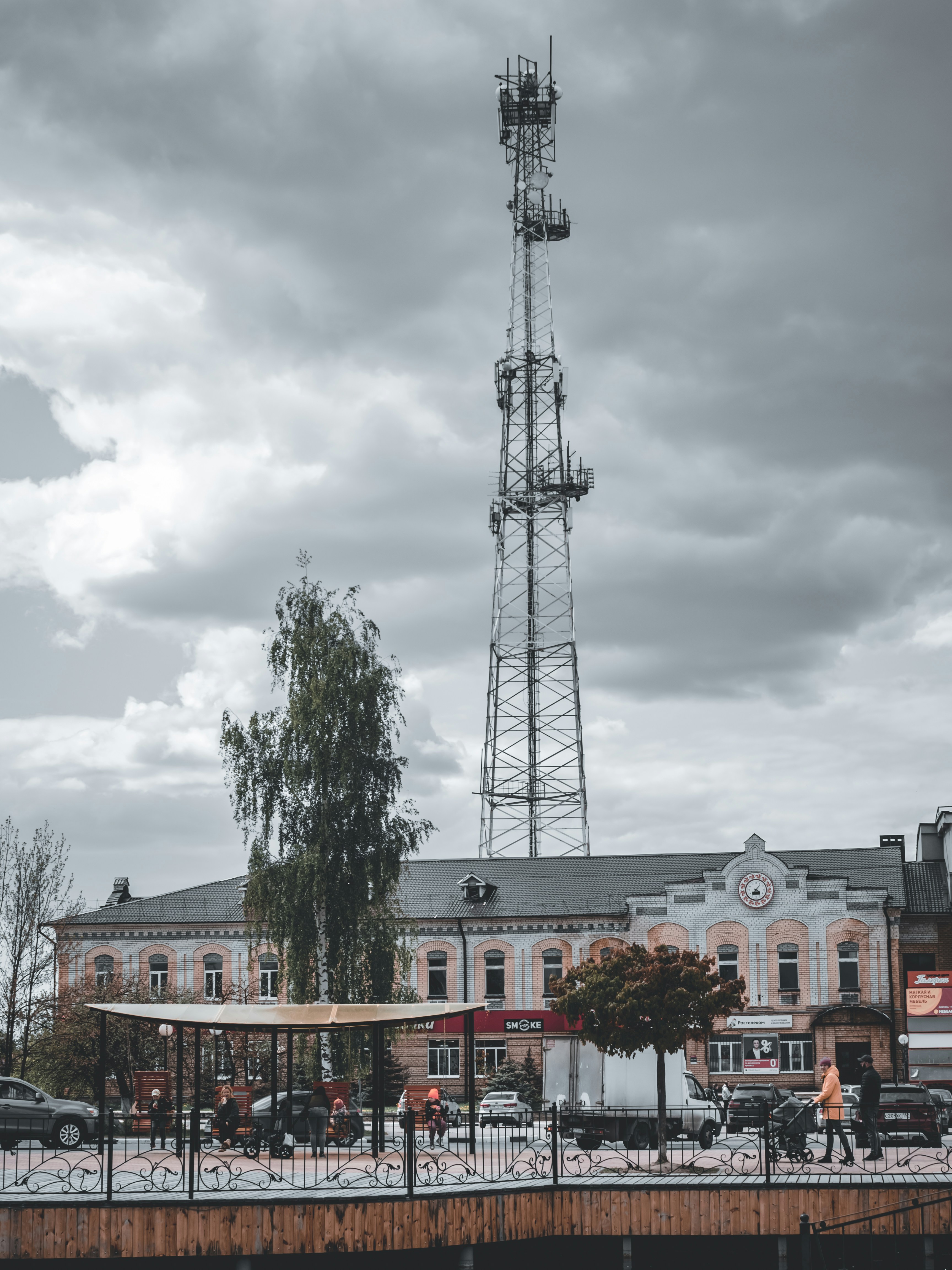
Monopole through morning fog
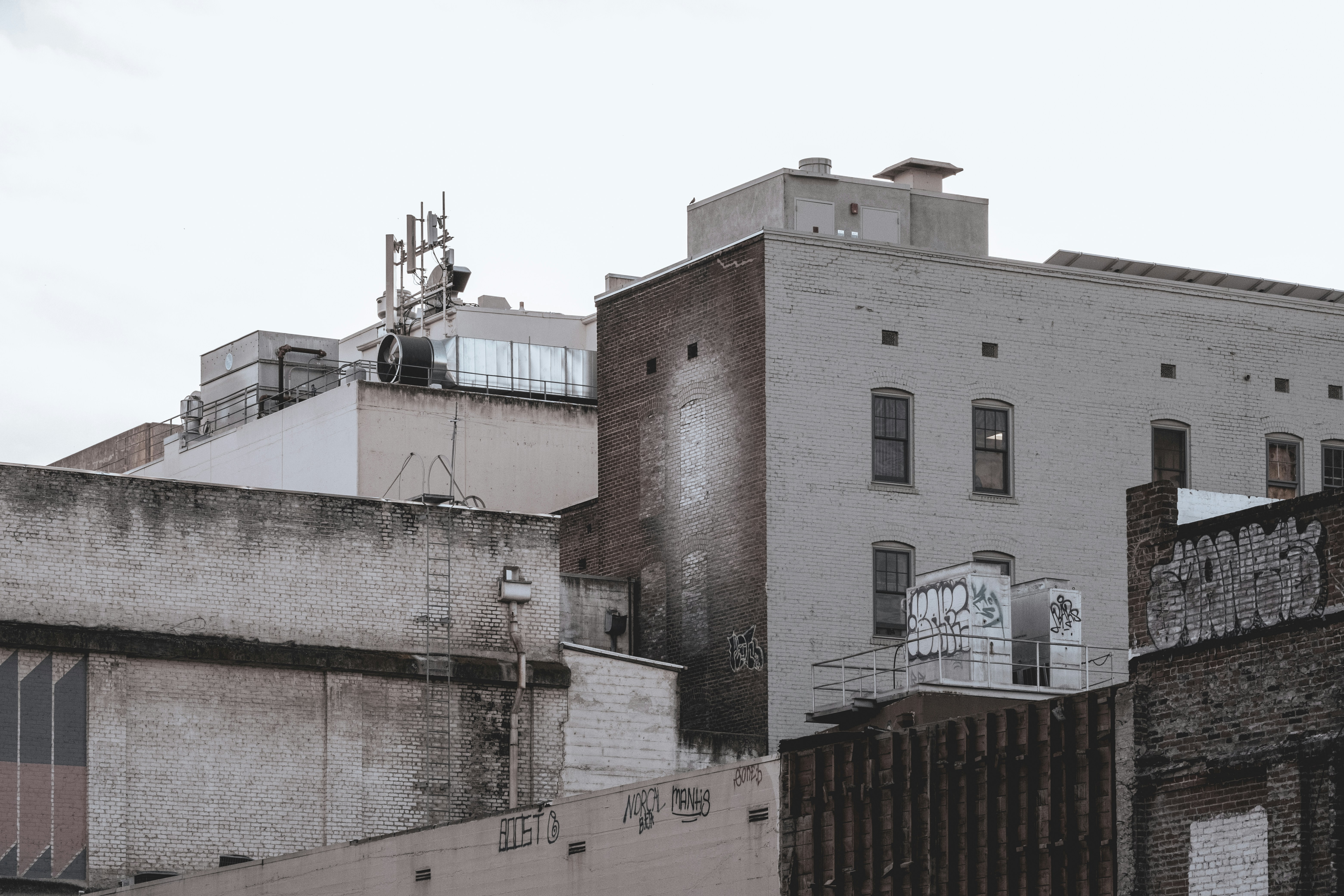
Site Documentation
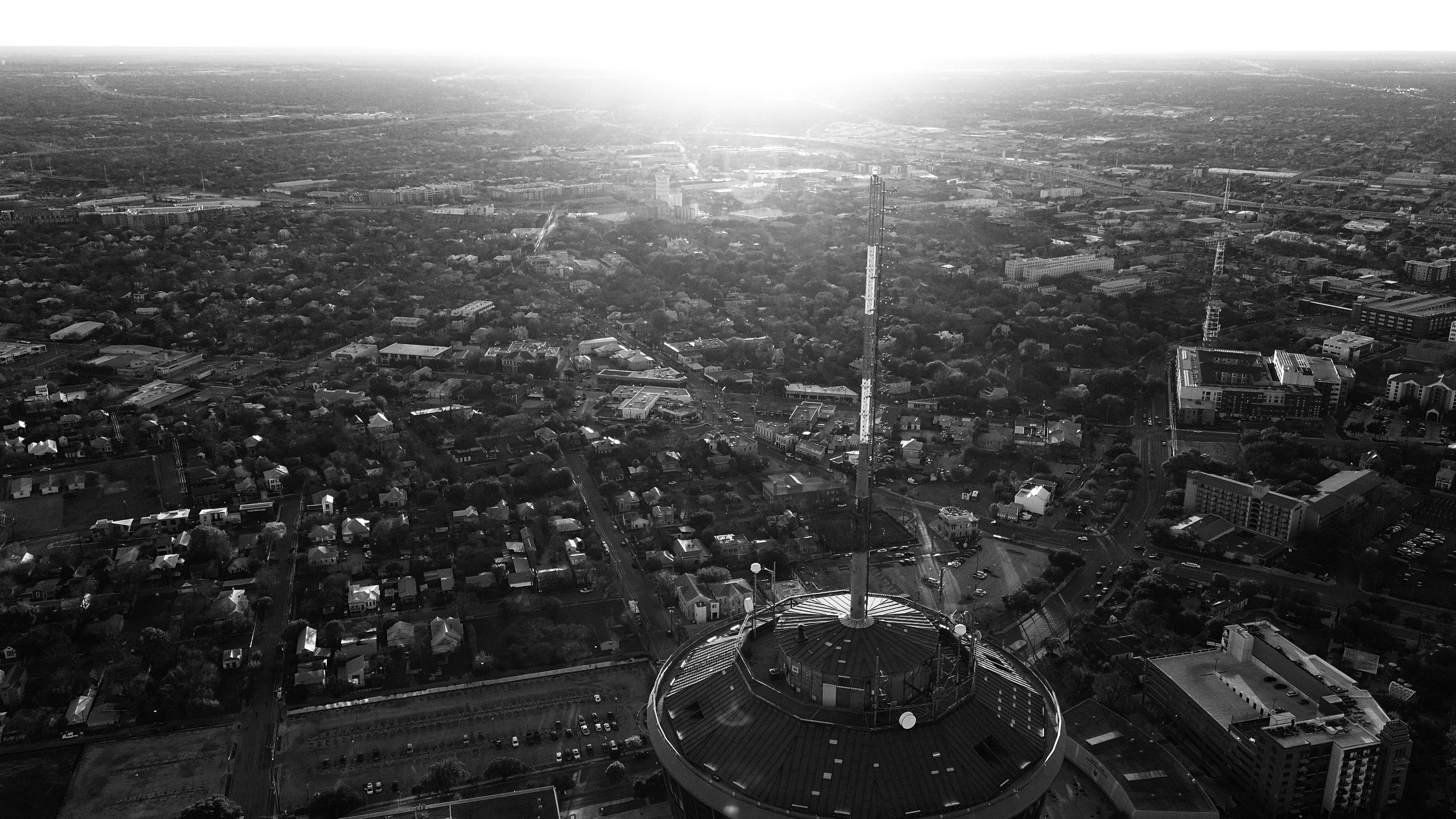
Rooftop small cell array
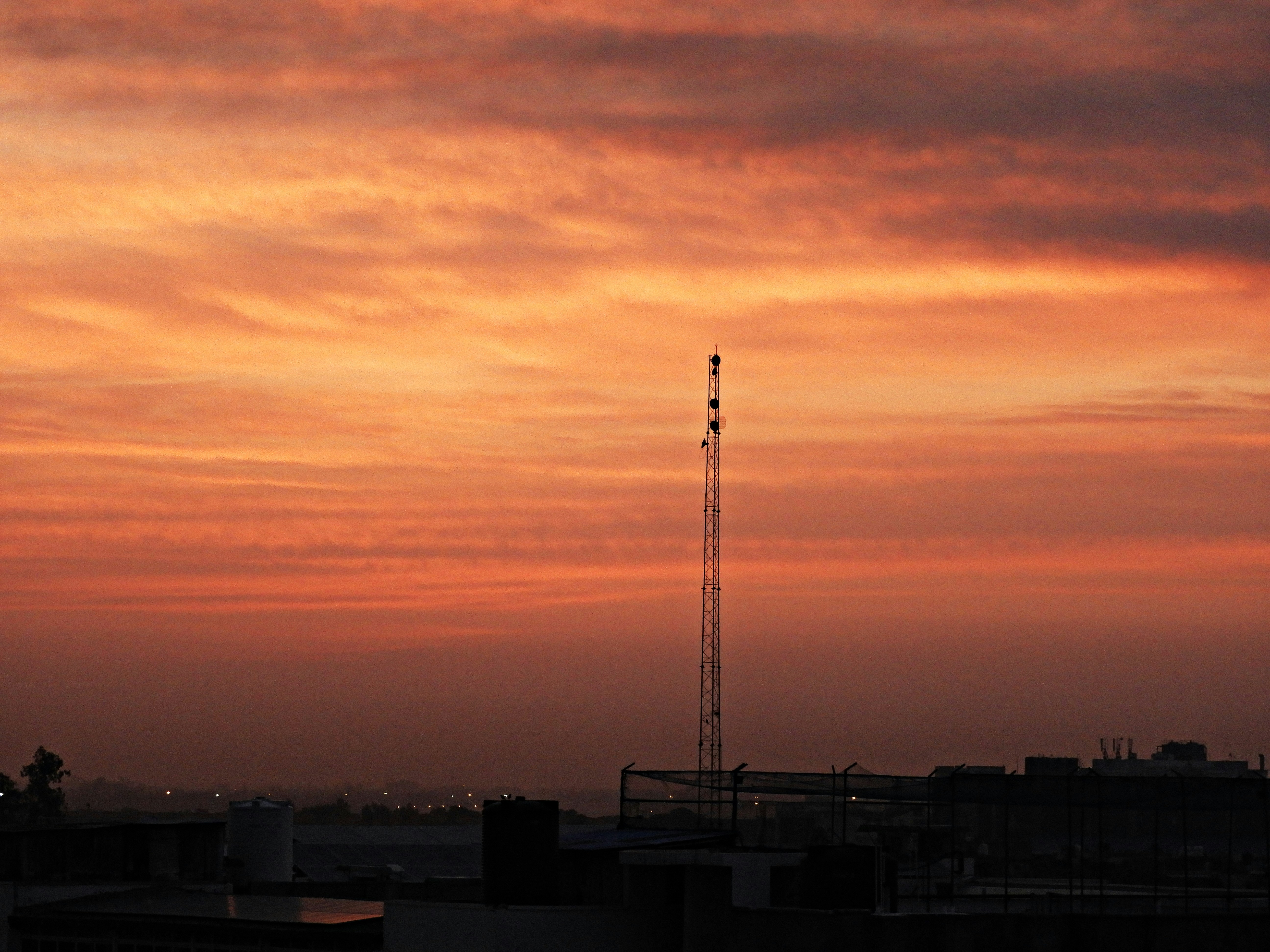
Marketing Assets
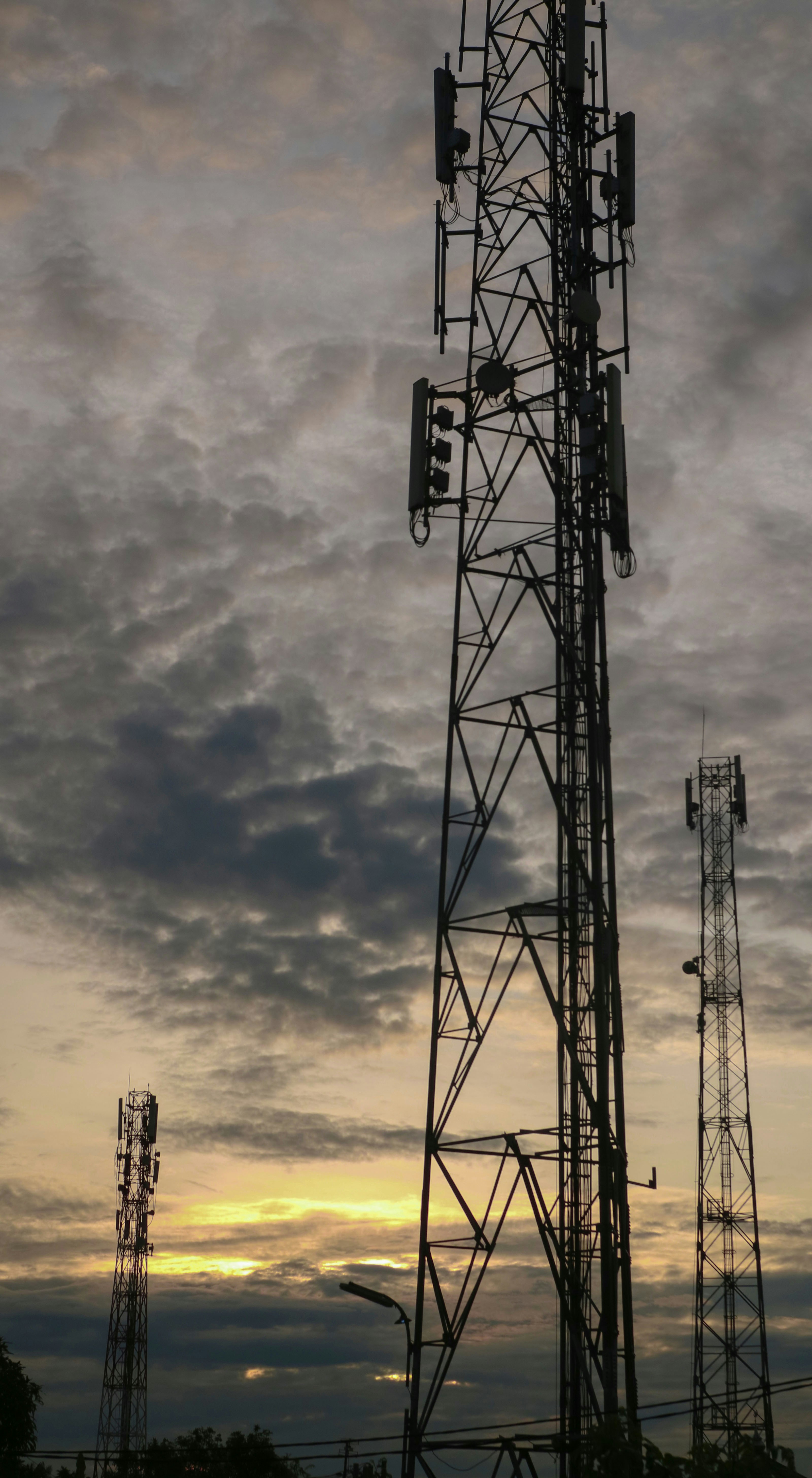
Macro site golden hour
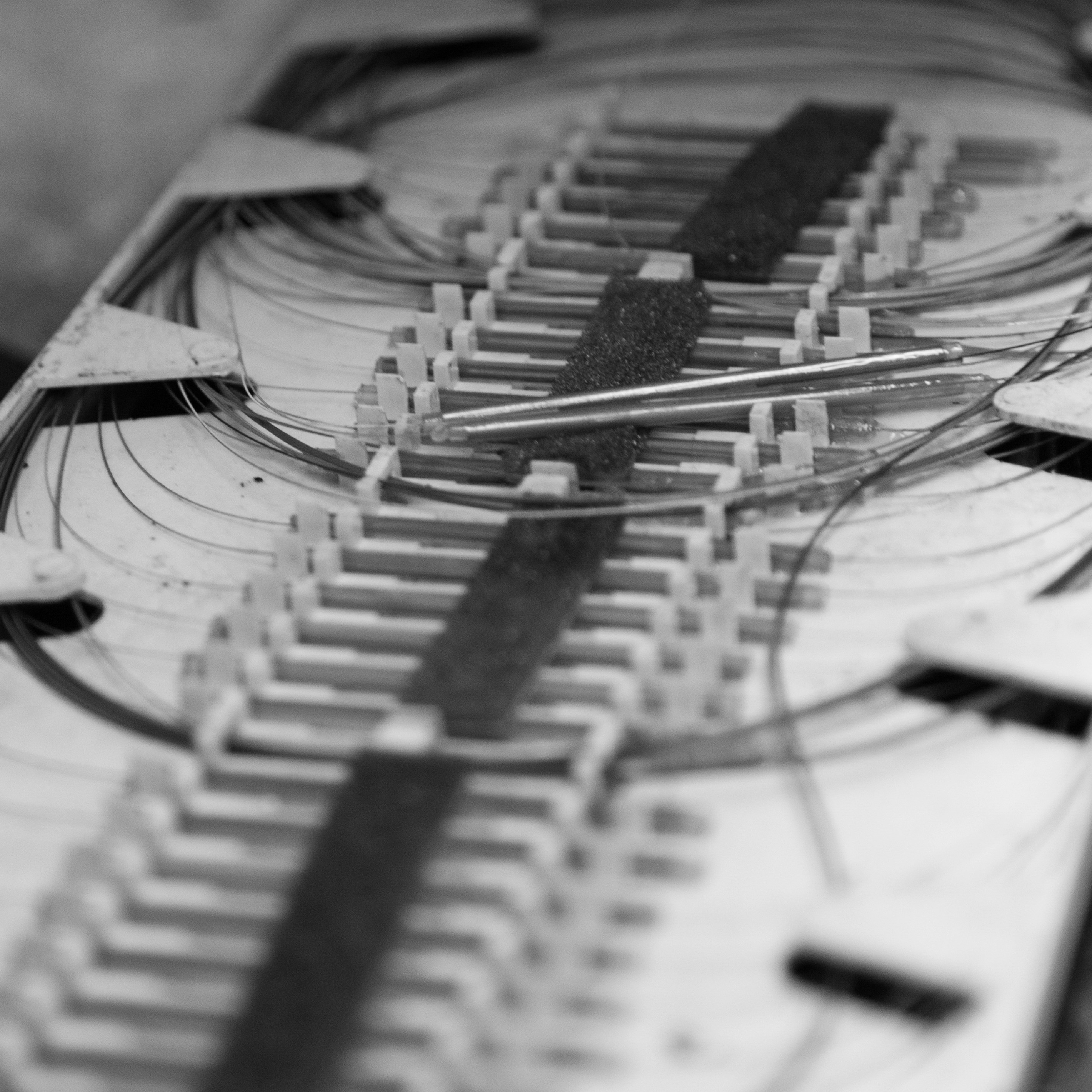
Permit Visualization
Fiber splice enclosure
Construction Progress
Tower climber POV
Coverage Mapping
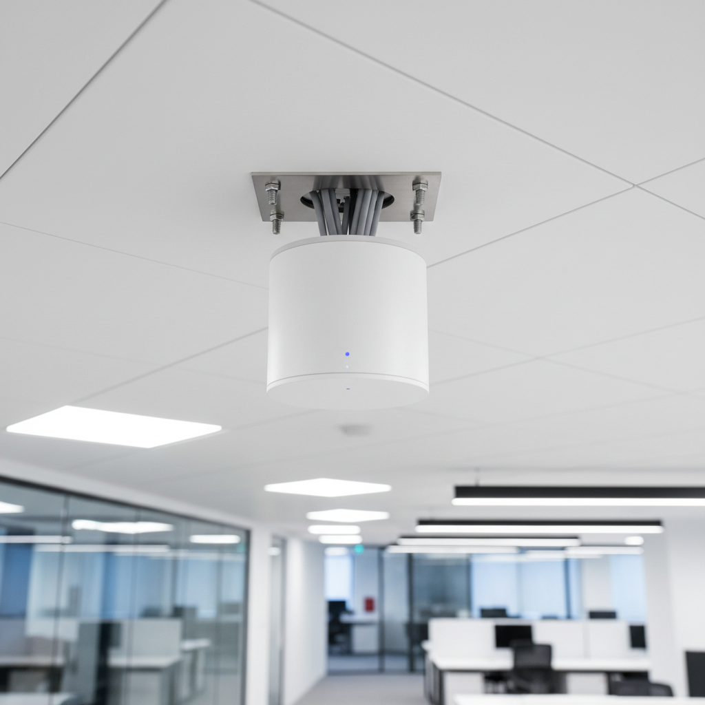
Indoor DAS node
Feed it RF data. Get a photo-ready site.
Paste a site address or drop coordinates. Signal ingests spectrum maps and propagation data, then renders the monopole, small cell, or rooftop array exactly as it will look in the field — fog, shadow, and all.
One site. Two outputs. Zero reshoots.
Toggle between photorealistic render and technical schematic in a single click. Permit reviewers get the CAD-style elevation; zoning boards get the neighborhood-context photo. Same geometry, different presentation.

Toggle between render styles — same site, same geometry, different output
Every lighting condition. Any time of day.
Drag the sun position slider from pre-dawn to golden hour. Marketing teams build entire visual libraries — macro towers at sunrise, small cells mid-afternoon, fiber vaults at dusk — without a single photographer.
Permit packages that actually get approved.
A-series site plans, elevation views, and RF coverage maps — all generated from the same schematic input. Engineers at midnight have everything a zoning board needs by 8 a.m.

Stage-by-stage. No crew required.
Simulate construction milestones from foundation pour to final antenna installation. Generate as-built documentation at every stage without dispatching a photographer to the site.
Visualize signal before you string a cable.
Overlay RF propagation across 700, 850, 1900, and 2600 MHz bands on photorealistic aerial renders. Network planners see exactly how coverage changes before the first bolt is tightened.
Use Cases
Built for the people who build the network.
From midnight permit runs to fleet-scale API integrations — Signal fits where the work happens.

Permit Packages
RF engineers at midnight generating complete A-series permit packages with photorealistic site views, elevation drawings, and coverage maps — all from a single address.
Zoning Board Prep
60 site mockups before Thursday. Network planners use Signal to generate neighborhood-context renders that show exactly how a small cell will look flush-mounted on a utility pole.
Marketing Libraries
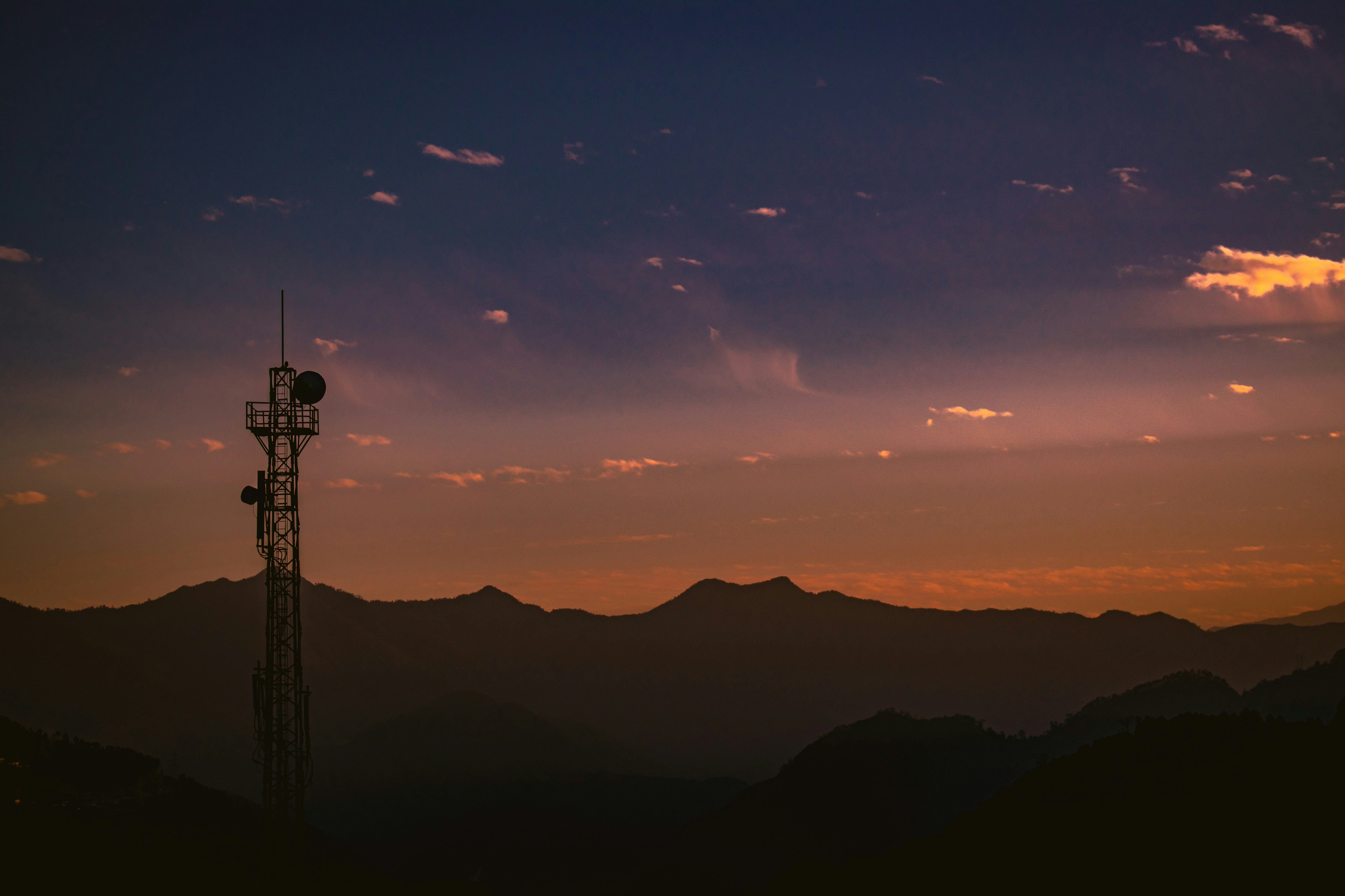
Tower company marketing teams building visual libraries without recycling the same lattice-at-sunset stock photo.
Construction Documentation
Stage-by-stage visual records from foundation to antenna installation — without sending a crew to the site for every milestone.

Fleet API Access
Enterprise teams integrating Signal into their site management platforms via REST API. Batch-generate hundreds of sites overnight.
Field Reports
From engineers who ship at 2 a.m.
“We used to spend three days coordinating photographers for permit packages. Now I generate everything before the site visit. Last Thursday I had 60 mockups ready for the zoning board by noon.”

Marcus Webb
Senior RF Engineer · Verizon Network Planning
“The permit visualization feature is what sold me. Zoning boards respond completely differently when you show them a photorealistic render of how a small cell will look on the corner of Elm and 5th versus a CAD schematic.”

Priya Nair
Site Acquisition Manager · Crown Castle
“Marketing was recycling the same five stock photos of a lattice tower at sunset. Signal gave us a library of 400 unique images across every tower type, lighting condition, and urban context in a single afternoon.”

Derek Holman
Creative Director · SBA Communications
Ready to render
The network doesn't sleep.
Neither does Signal.
Generate your first photorealistic cell site in under 5 seconds. No subscription required to start.